The Land of the Thunder Dragon
Nestled in the Eastern Himalayas, Bhutan is a landlocked kingdom between Tibet (China) to the north and India to the south. The country is entirely mountainous, with dramatic elevation changes creating diverse ecosystems.
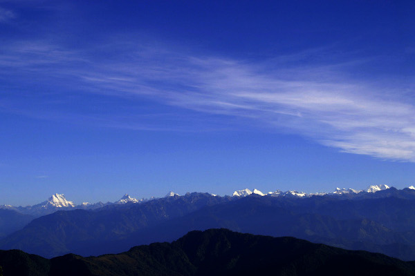 The majestic Masangang Mountain Range in Northern Bhutan
Three Geographic Zones
Bhutan's terrain can be divided into three distinct geographic zones, each with its own unique climate, flora, and fauna.
Southern Foothills
The Duars plain and foothills are covered with dense subtropical forests. This zone is home to diverse wildlife including elephants, tigers, and rhinos in protected national parks.
Inner Himalayas
The central valleys of Paro, Thimphu, Punakha, and Bumthang are where most Bhutanese live. The climate features warm summers and cold winters with distinct seasons.
Greater Himalayas
Snow-capped peaks, glaciers, and alpine meadows dominate the north. Gangkhar Puensum (7,570m) is the world's highest unclimbed mountain, sacred to the Bhutanese.
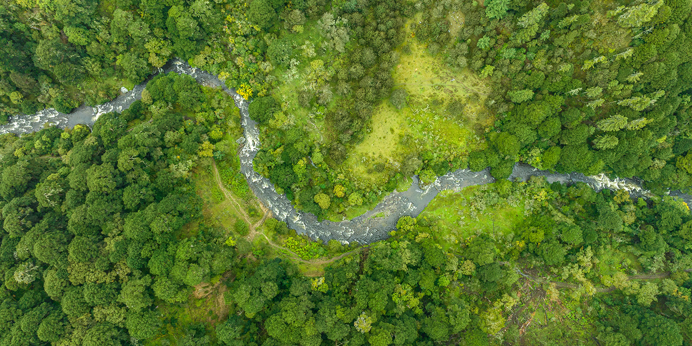 Crystal-clear rivers flowing through Bhutan's valleys
Rivers & Hydropower
Bhutan's major rivers flow from north to south, originating from Himalayan glaciers and eventually joining the mighty Brahmaputra River in India.
These rivers provide tremendous hydroelectric potential, making clean energy Bhutan's largest export to India.
Forest Conservation
Bhutan is one of the most environmentally conscious countries in the world. The constitution mandates that a minimum of 60% of the land must remain forested for all time.
Currently, approximately 72% of Bhutan is covered by forests, making it one of the greenest countries on Earth and the only carbon-negative country in the world.